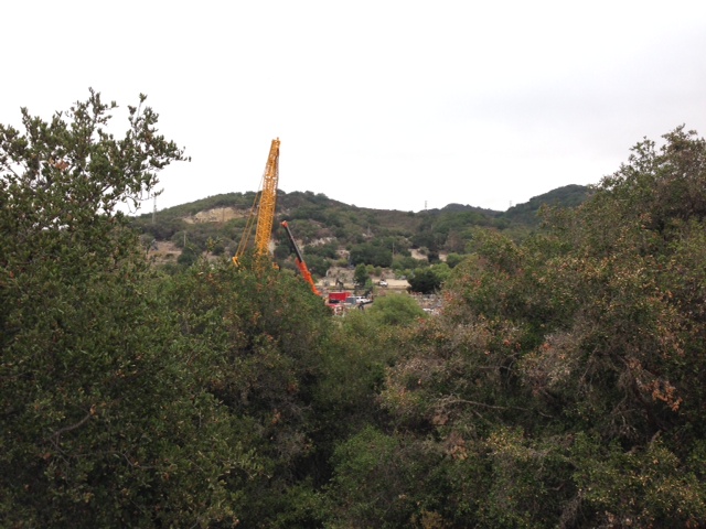
We've driven to San Diego many times, but usually choose make it a humane, two-day trip via US 101 with an overnight stop on the Central Coast. This time I drove solo with our two Basenji, straight (pretty much) to San Diego in 10.5 hours with three minimal rest stops. It would have been 9.5 hours, but there was an hour delay on I-5 due to an accident involving a truck hauling what looked like tomatoes. Spending one hour to cover 2 miles didn't help my mood. Approaching the Gorman Pass, Waze decided it was best to route me through the Antelope Valley via the Pearblossom Highway to I-15 rather than through the LA basin. Towering cumulonimbus clouds loomed in the sky as we drove along the two-lane blacktop and a light rain began falling. My mood improved, at least until I hit Friday rush hour traffic near Riverside.
 |
| A tree grows in San Diego! |
There are few areas of grass or dirt in the area surrounding the downtown San Diego hotel where we were staying and that had our dogs frustrated. Clearly they wanted to get their feet and their noses in contact with the earth, not cement, brick and asphalt. We walked four blocks before we found a park and they were much happier. It's amazing how we humans have become accustomed to paving over the natural world.

With a heat wave gripping SoCal, I decided to rise early the next morning and do a bike ride while the air was cool. Staying along the Pacific Ocean would help, so I researched various bike rides with GoogleMaps (really liking the new bike routing on the iPhone) before choosing a trip to Point Loma and the Cabrillo National Monument. There were plenty of cyclists and walkers on the trail near Harbor Drive. Most were friendly, save the competitive group of cyclists I encountered. One of them dismissively informed me that my Tikit was "a piece of crap." Whatever ... I still enjoyed the nice 18-mile loop, a good climb up Talbot Street, and the clear skies and the cool air. With great weather and stellar views, you just want to get out and move when you're in San Diego. It's no wonder so many of the residents are physically active and very, very fit.

 |
| View of Cabrillo, North Island NAS in the distance |
 |
| Nice hill on Talbot Street |


We enjoyed a good breakfast at the Big Sky Cafe and the rest of the drive home was made better by a bit of morning exercise.
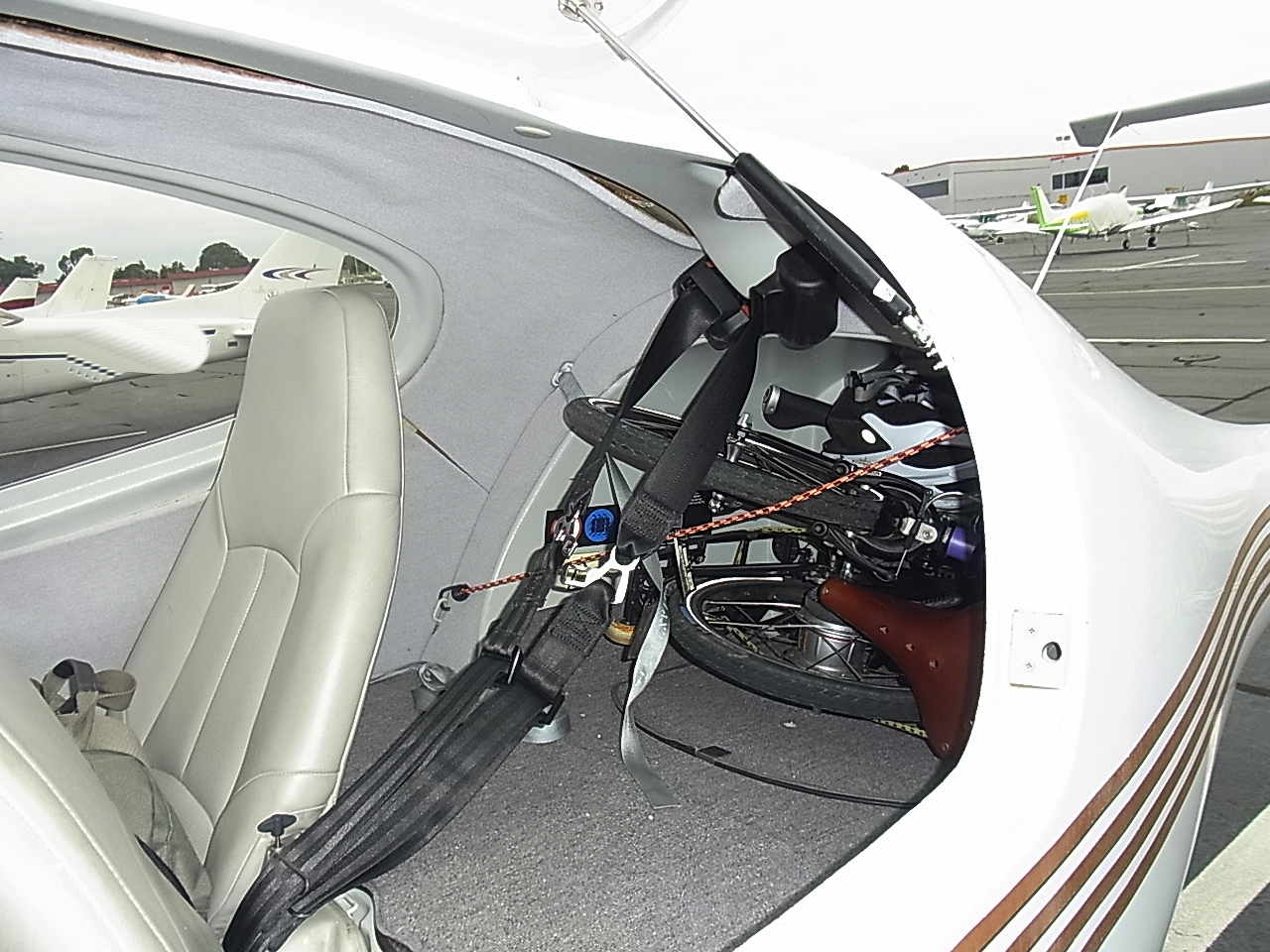
The next morning after arriving home, I packed my Tikit into a DiamondStart DA40 for a trip to French Valley airport and an overnight stay in Temecula. I've decided that removing the left pedal makes it easier to pack the Tikit into any vehicle and carrying the appropriate allen wrench is easy enough.
The midday 8.5 mile ride from the French Valley airport to the hotel was hot and GoogleMaps decided to route me through some residential neighborhoods to avoid a main road that had high-speed traffic and a minimalist bike lane. In general, Temecula and Murrieta have good but fragmented bike infrastructure: Crossing I-15, for example, is a dicey affair because there are only a few roads that make the crossing and none that I found had any bike lanes or markings at all. I rode around Temecula that afternoon, but found it boring and dissatisfying. Maybe it was the heat or perhaps it was a spread-out town plan based on petroleum fueled transportation? If/when the zombie apocalypse comes, I fear towns like Temecula are not going to fare well. That night I walked around Old Town and had dinner in preparation for the next morning's ride: A trip to the nearby town of Fallbrook and back.

I got an early start and the air was pleasantly cool. GoogleMaps routed me to Fallbrook via Rainbow Canyon Road (the old Route 395). I had seen few cyclists in Temecula the day before, but I saw quite a few riding the roads outside of town. There were some good climbs along the way and plenty of nice scenery. The bike lanes were generally good, though the pavement was a bit rugged on parts of Rainbow Canyon Road.

 |
| Avocado Capital |

After a 30-plus mile ride, I recuperated in air conditioned comfort at the hotel before checking out and heading back to the French Valley airport. Halfway to the airport, I took refuge from the midday heat at Jax Bicycle shop, where the staff kindly pumped up my tires and replenished my water bottle. I'll be doing more cycling on my Bike Friday Tikit soon, this time in the Sierra Mountains. More details as they become available ...
No comments:
Post a Comment